Remote sensing technology has revolutionized various industries, including business, agriculture, and forestry. By utilizing satellite imagery, aerial photography, and other remote sensing techniques, businesses are now able to gather valuable data for decision-making processes. For instance, in the agricultural sector, farmers can use remote sensing to monitor crop health and optimize irrigation schedules based on real-time information. This article explores the application of remote sensing in these three sectors, highlighting its potential benefits and implications.
The integration of remote sensing into precision agriculture has significantly transformed farming practices. Through advanced image analysis techniques, farmers can identify areas of stress or disease in crops before they become visible to the naked eye. Moreover, by monitoring soil moisture levels and plant nutrition remotely, farmers can make informed decisions regarding fertilization and water management strategies. Consequently, this precise approach not only enhances crop yields but also minimizes resource waste and environmental impact. Similarly, in the field of forestry management, remote sensing enables forest owners to assess tree health conditions over large areas efficiently. They can detect early signs of diseases or infestations that threaten forests’ stability and take timely preventive measures to mitigate risks.
In conclusion, remote sensing has emerged as a powerful tool with diverse applications across multiple industries such as business, agriculture, and forestry. Its ability to gather real-time data through satellite imagery and aerial photography has revolutionized decision-making processes in these sectors. In agriculture, remote sensing allows farmers to monitor crop health, optimize irrigation schedules, and make informed decisions on fertilization and water management strategies. This precise approach enhances crop yields while minimizing resource waste and environmental impact. Similarly, in forestry management, remote sensing enables forest owners to assess tree health conditions over large areas efficiently and detect threats such as diseases or infestations early on. Overall, the integration of remote sensing technology has proven invaluable in improving efficiency, sustainability, and productivity across various industries.
What is Remote Sensing?
Remote sensing is a powerful tool that has revolutionized various industries, including business, agriculture, and forestry. Through the use of remote sensing technologies such as satellites, airplanes, drones, and ground-based sensors, it becomes possible to collect data about Earth’s surface without direct physical contact. This section will explore the concept of remote sensing by providing an example scenario and discussing its applications in different fields.
Imagine a farmer who wants to optimize irrigation on their vast agricultural land. By utilizing remote sensing techniques, they can gather information about soil moisture levels across their entire farm without physically inspecting each field. With this data in hand, the farmer can make informed decisions regarding water usage and ensure that crops receive optimal hydration, resulting in increased productivity and reduced water waste.
- Enhanced decision-making capabilities
- Improved resource allocation
- Increased operational efficiency
- Environmental sustainability
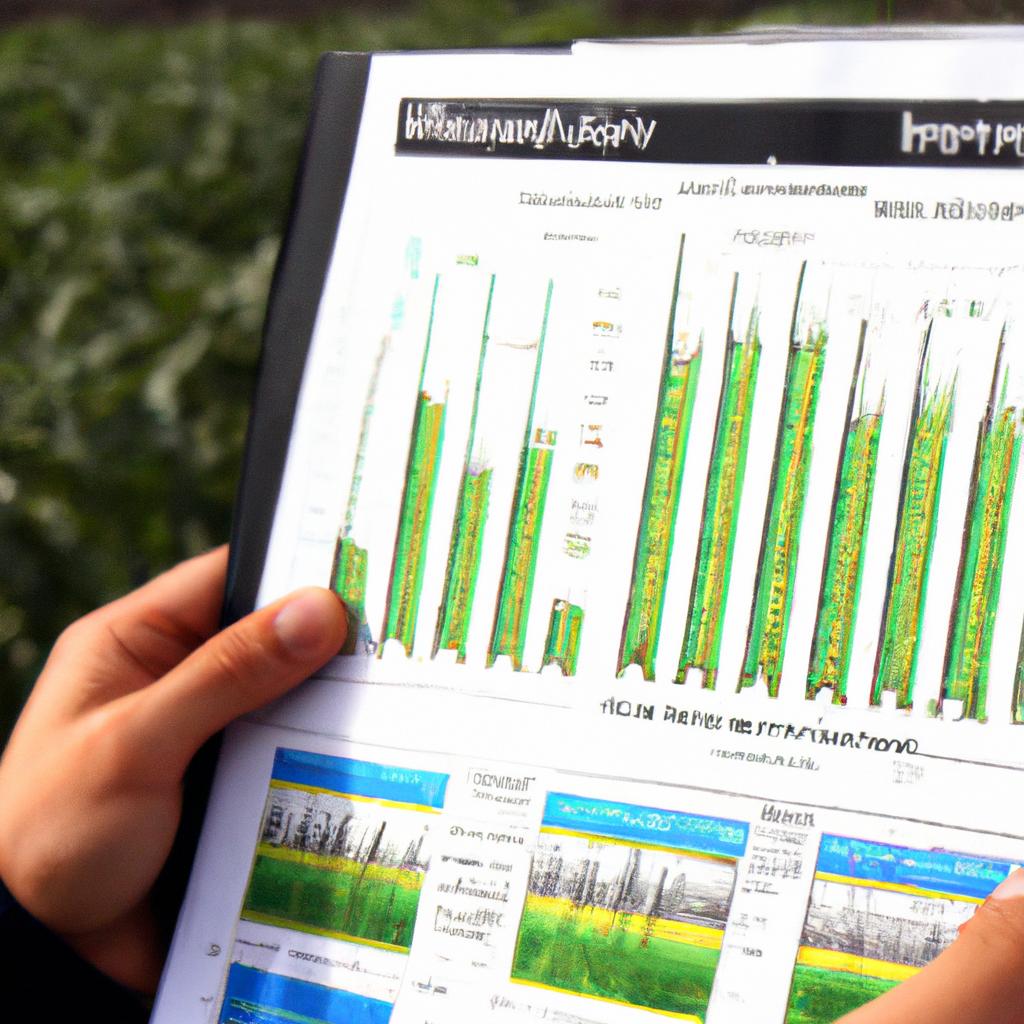
Furthermore, let us delve into the practicality of remote sensing through a table showcasing its applications in different domains:
| Domain | Application | Benefits |
|---|---|---|
| Agriculture | Precision farming | Higher crop yields |
| Business | Market analysis | Competitive advantage |
| Forestry | Forest management | Timely detection of forest fires |
In summary, remote sensing plays a vital role in gathering valuable information from afar and transforming it into actionable insights for businesses, farmers, and foresters alike. It empowers stakeholders to make well-informed decisions while simultaneously benefiting society as a whole. In the subsequent section on “Applications of Remote Sensing in Agriculture,” we will explore how this technology specifically aids farmers in optimizing crop production systems.
Applications of Remote Sensing in Agriculture
Imagine a world where farmers have access to real-time information about their crops, enabling them to make informed decisions that maximize yield while minimizing resource use. This vision is becoming a reality with the advent of remote sensing technologies in agriculture. By utilizing various sensors onboard satellites, drones, or ground-based platforms, remote sensing offers invaluable insights into crop health, soil conditions, and environmental factors that influence agricultural productivity. In this section, we will explore how remote sensing revolutionizes the way we monitor and manage crops.
Crop Monitoring:
Remote sensing enables precise monitoring of crop growth throughout the growing season. For instance, let us consider a hypothetical case study involving a cornfield. By analyzing satellite imagery captured over time, farmers can identify areas within the field experiencing stress due to water deficiency or nutrient imbalance. Armed with this knowledge, they can apply targeted irrigation or fertilizer applications only where needed rather than adopting a blanket approach across the entire field. Consequently, resources are used more efficiently while ensuring optimal crop development.
- Increased efficiency in pest management through early detection and intervention.
- Enhanced disease identification and prevention strategies.
- Improved assessment of vegetation cover for effective land-use planning.
- Accurate estimation of biomass and crop yield potential.
Table 1 showcases some key benefits provided by remote sensing in agriculture:
| Benefits | Description |
|---|---|
| Enhanced decision-making | Enables data-driven decisions based on accurate and timely information |
| Resource optimization | Optimizes resource allocation (e.g., water, fertilizers) for sustainable farming |
| Precision farming | Facilitates site-specific interventions tailored to individual field conditions |
| Environmental sustainability | Supports conservation efforts by minimizing waste and reducing chemical usage |
Through its ability to remotely capture high-resolution data, remote sensing empowers farmers and agricultural stakeholders to make informed decisions. By monitoring crops with precision and leveraging technological advances, such as artificial intelligence and machine learning algorithms, the potential for improving crop management practices is immense.
Moving forward, let us explore how remote sensing can bring significant advantages to various industries beyond agriculture. Specifically, we will examine its applications and benefits in business settings.
Benefits of Remote Sensing in Business
Applications of Remote Sensing in Agriculture have revolutionized the way farmers manage their crops and optimize production. By utilizing remote sensing technologies, such as satellite imagery and aerial drones, farmers can gather valuable data about soil conditions, crop health, and water usage. This information enables them to make informed decisions regarding irrigation schedules, fertilization strategies, and pest control measures.
One example that demonstrates the power of remote sensing in agriculture is a case study conducted on a large-scale corn farm in Iowa. Through the use of satellite imagery, the farmer was able to identify areas within his fields that were experiencing nutrient deficiencies. By precisely targeting these specific regions with fertilizer applications, he achieved a significant increase in crop yield while minimizing waste. This not only improved profitability but also reduced environmental impact by preventing excess nutrients from leaching into nearby water sources.
The benefits of remote sensing in agriculture are numerous and impactful:
- Increased efficiency: With accurate data on crop health and soil conditions provided by remote sensing techniques, farmers can optimize resource allocation. They can apply precise amounts of water, fertilizers, and pesticides only where needed, reducing costs and minimizing environmental impacts.
- Early detection of pests and diseases: Remote sensing allows for early identification of pests or diseases affecting crops before they become widespread. Timely intervention helps prevent outbreaks and minimizes losses.
- Improved decision-making: The availability of detailed spatial data through remote sensing empowers farmers to make informed decisions based on objective information rather than relying solely on intuition or experience.
- Enhanced sustainability: By using remote sensing technologies to monitor land use practices, farmers can prioritize sustainable farming methods that conserve natural resources and protect ecosystems.
| Benefit | Description |
|---|---|
| Increased efficiency | Accurate data aids in optimizing resource allocation leading to cost reduction and minimized environmental impact |
| Early detection | Early identification of pests/diseases prevents widespread outbreaks resulting in lesser losses |
| Improved decision-making | Objective spatial data enables informed decision-making, reducing reliance on intuition or experience |
| Enhanced sustainability | Monitoring land use practices using remote sensing helps prioritize sustainable farming methods for conserving natural resources and ecosystems |
In conclusion, the applications of remote sensing in agriculture have proven to be invaluable tools for farmers in optimizing crop production. By harnessing the power of satellite imagery and aerial drones, farmers can make more precise decisions regarding resource allocation, pest control, and fertilization strategies. The benefits include increased efficiency, early detection of pests and diseases, improved decision-making capabilities, and enhanced sustainability. In the following section about “Remote Sensing Techniques for Forestry,” we will explore how these technologies are also transforming the forestry industry.
Remote Sensing Techniques for Forestry
Having discussed the benefits of remote sensing in business, we now turn our attention to its applications in forestry. To illustrate the potential impact of remote sensing techniques on this sector, let’s consider a hypothetical case study involving a large forest management company.
Remote Sensing Techniques for Forestry:
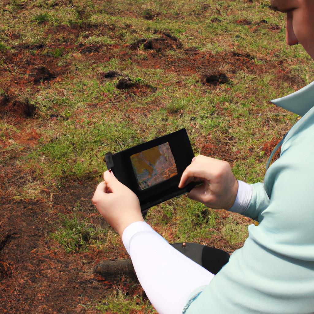
In recent years, advancements in remote sensing technologies have revolutionized the way forests are managed and monitored. By utilizing various satellite or airborne sensors combined with computer algorithms, valuable insights can be gained regarding forest health, biodiversity assessment, and timber inventory estimation. One notable example is the use of Light Detection and Ranging (LiDAR) systems to capture detailed three-dimensional information about tree structure and vegetation distribution.
The integration of remote sensing techniques into forestry practices offers several advantages:
- Improved efficiency: Traditional methods of collecting field data often involve time-consuming manual measurements. With remote sensing technology, vast areas can be assessed rapidly from above, allowing for more efficient planning and implementation.
- Enhanced accuracy: Remote sensing provides high-resolution imagery that enables precise monitoring of forest dynamics over time. This allows better detection of changes such as deforestation or reforestation efforts.
- Cost-effective analysis: By leveraging remotely sensed data, companies can reduce expenses associated with ground-based surveys while still maintaining accurate assessments of ecosystem conditions.
- Conservation focus: Remote sensing facilitates comprehensive mapping and monitoring of protected areas within forests. This assists conservation efforts by identifying sensitive habitats or endangered species’ distribution patterns.
Table 1 provides an overview comparison between traditional field-based assessments and remote sensing approaches:
| Field-Based Assessments | Remote Sensing Approaches | |
|---|---|---|
| Data Collection | Time-consuming manual measurements | Rapid aerial or satellite imaging |
| Cost | Higher expenses for ground surveys | Reduction in surveying costs |
| Accuracy | Limited coverage and precision | High-resolution, precise mapping |
| Conservation Focus | Difficult to locate sensitive areas | Comprehensive habitat monitoring |
Implementing remote sensing techniques in forestry has the potential to transform forest management practices. However, challenges exist that must be addressed to fully realize these benefits.
Transition into subsequent section:
As we delve further into the practical applications of remote sensing in forestry, it is crucial to consider the inherent challenges that come with its implementation. These obstacles can hinder the seamless integration of this technology within existing systems and processes.
Challenges in Implementing Remote Sensing
Unlocking the potential of remote sensing techniques in forestry has been a game-changer for the industry. By harnessing the power of satellite imagery and other advanced technologies, forest management practices have become more efficient, accurate, and sustainable. In this section, we will explore some of the challenges faced in implementing remote sensing techniques for forestry.
One example that highlights the benefits of remote sensing technology in forestry is its use in monitoring deforestation activities. Through high-resolution satellite imagery, it becomes possible to detect illegal logging or land-clearing activities in real-time. For instance, imagine a scenario where a protected forest area is being encroached upon by loggers. Remote sensing can quickly identify these areas and alert authorities, enabling prompt intervention to prevent further damage.
Despite its numerous advantages, implementing remote sensing techniques in forestry does come with certain challenges:
-
Data availability and quality: Obtaining reliable and up-to-date satellite imagery can be costly and time-consuming. Additionally, ensuring data accuracy poses another challenge as atmospheric conditions or cloud cover may affect image quality.
-
Technical expertise: Interpreting remote sensing data requires specialized knowledge and skills. Forestry professionals must undergo training to effectively analyze satellite images and extract meaningful information from them.
-
Integration with existing systems: Incorporating remote sensing technologies into traditional forestry practices often necessitates changes in workflows and infrastructure. This integration process can be complex and may require investment in new software tools or hardware equipment.
-
Cost considerations: While the potential benefits are significant, initial setup costs for acquiring satellite imagery or investing in specialized equipment can be prohibitive for smaller organizations or developing countries.
To gain a better understanding of these challenges, consider Table 1 below which summarizes the main obstacles encountered when implementing remote sensing techniques in forestry:
| Challenges | Description |
|---|---|
| Data availability | Limited access to relevant datasets needed for analysis |
| Technical expertise | Lack of skilled professionals capable of interpreting and analyzing remote sensing data |
| Integration with systems | Difficulty in integrating remote sensing technologies into existing forestry management systems |
| Cost considerations | High initial setup costs for acquiring satellite imagery or investing in specialized equipment |
Despite these challenges, the benefits of implementing remote sensing techniques in forestry far outweigh the obstacles. By leveraging advancements in technology, it is possible to overcome these hurdles and transform forest management practices on a global scale.
In the subsequent section, we will delve into future trends in remote sensing technology and explore how they may further revolutionize various sectors, including agriculture, business, and forestry. Transitioning from current challenges to potential future developments allows us to envision an even more promising landscape for remote sensing applications.
Future Trends in Remote Sensing Technology
Despite the numerous benefits and potential applications of remote sensing technology, its implementation in various industries faces several challenges. One example that highlights these challenges is its integration into precision agriculture practices. Precision agriculture aims to optimize crop production by utilizing advanced technologies such as remote sensing to gather data on crop health, soil conditions, and environmental factors.
One major challenge encountered in implementing remote sensing for precision agriculture is the availability and accessibility of high-quality satellite imagery or aerial photographs. Obtaining up-to-date and accurate images can be costly and time-consuming, especially for small-scale farmers who may not have access to sophisticated imaging equipment or the resources to acquire commercial satellite imagery regularly. This limitation hinders their ability to effectively monitor crop growth patterns, detect early signs of diseases or pests, and make timely decisions regarding irrigation or nutrient management.
Another challenge lies in processing and analyzing the vast amount of data collected through remote sensing techniques. The sheer volume of data generated from satellites, drones, or ground-based sensors requires specialized software tools and expertise for effective interpretation. Farmers and agricultural professionals need user-friendly platforms capable of transforming raw data into meaningful insights that can guide decision-making processes. Additionally, there is a need for standardized protocols and algorithms to ensure consistent analysis methods across different regions and crops.
Additionally, concerns related to privacy issues arise when implementing remote sensing technology in agriculture. As monitoring becomes more detailed with higher resolution imagery, questions about ownership of data, consent for data collection, and protection against unauthorized use become prominent. Clear guidelines must be established to address these ethical considerations while ensuring that the benefits brought forth by remote sensing are not compromised.
These challenges highlight the complexity involved in integrating remote sensing technology into precision agriculture practices. Overcoming them will require collaborative efforts between researchers, policymakers, industry leaders, and farmers themselves. By addressing issues surrounding image availability/accessibility, enhancing data processing capabilities, establishing clear ethical guidelines for data usage, we can unlock the true potential of remote sensing in precision agriculture.
Emotional Bullet Points:
- Improved crop production and resource management
- Enhanced environmental sustainability through optimized practices
- Increased profitability for farmers by minimizing losses and maximizing yields
- Potential to address food security challenges on a global scale
| Challenges in Implementing Remote Sensing |
|---|
| Availability and Accessibility of High-Quality Imagery |
| Processing and Analyzing Vast Amounts of Data |
| Privacy Concerns |
In conclusion, addressing these challenges will pave the way for unlocking the full potential of remote sensing technology in precision agriculture practices. By overcoming limitations related to image availability/accessibility, improving data processing capabilities, and establishing clear ethical guidelines for data usage, we can harness the power of remote sensing to optimize crop production, enhance sustainability, increase profitability for farmers, and potentially contribute towards addressing global food security challenges.